Chartist bungalow, Snig's End
Introduction
The photograph on this page of Chartist bungalow, Snig's End by Philip Halling as part of the Geograph project.
The Geograph project started in 2005 with the aim of publishing, organising and preserving representative images for every square kilometre of Great Britain, Ireland and the Isle of Man.

There are currently over 7.5m images from over 14,400 individuals and you can help contribute to the project by visiting https://www.geograph.org.uk
Chartist bungalow, Snig's End
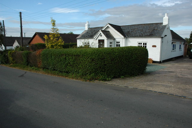
Image: © Philip Halling Taken: 24 Sep 2009
In the nineteenth century the Chartists built a number of bungalows at Snig's End in Staunton, each property was set in a 2 to 4 acre plot of land.
Images are licensed for reuse under creativecommons.org/licenses/by-sa/2.0
Image Location
Latitude
51.959163
Longitude
-2.310658