The Chase
Introduction
The photograph on this page of The Chase by Ian Capper as part of the Geograph project.
The Geograph project started in 2005 with the aim of publishing, organising and preserving representative images for every square kilometre of Great Britain, Ireland and the Isle of Man.

There are currently over 7.5m images from over 14,400 individuals and you can help contribute to the project by visiting https://www.geograph.org.uk
The Chase
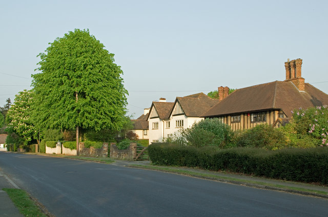
Image: © Ian Capper Taken: 25 Apr 2011
A road by the name of Chart Road is shown here on maps dating back to the late 19th century, and the route itself is probably older, being part of the network of paths that led from what is now Shaws Corner to Cockshot Hill (see Image for example). However, development for housing did not start until the 1930s (the house on the right was built in 1932), and it seems that the name The Chase was introduced around that time, presumably as a marketing ploy
Images are licensed for reuse under creativecommons.org/licenses/by-sa/2.0
Image Location
Latitude
51.234569
Longitude
-0.186007