Corner of Wolfridge Lane and Wolfridge Ride, Alveston
Introduction
The photograph on this page of Corner of Wolfridge Lane and Wolfridge Ride, Alveston by Jaggery as part of the Geograph project.
The Geograph project started in 2005 with the aim of publishing, organising and preserving representative images for every square kilometre of Great Britain, Ireland and the Isle of Man.

There are currently over 7.5m images from over 14,400 individuals and you can help contribute to the project by visiting https://www.geograph.org.uk
Corner of Wolfridge Lane and Wolfridge Ride, Alveston
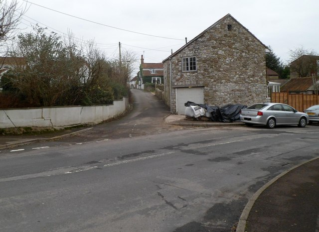
Image: © Jaggery Taken: 27 Dec 2011
A view south along Wolfridge Lane from Wolfridge Ride. Wolfridge Lane was mentioned in a Saxon charter as a boundary between the parishes of Alveston and Olveston.
Images are licensed for reuse under creativecommons.org/licenses/by-sa/2.0
Image Location
Latitude
51.589622
Longitude
-2.536916