Marlwood School, Alveston
Introduction
The photograph on this page of Marlwood School, Alveston by Jaggery as part of the Geograph project.
The Geograph project started in 2005 with the aim of publishing, organising and preserving representative images for every square kilometre of Great Britain, Ireland and the Isle of Man.

There are currently over 7.5m images from over 14,400 individuals and you can help contribute to the project by visiting https://www.geograph.org.uk
Marlwood School, Alveston
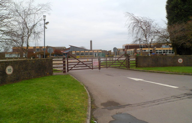
Image: © Jaggery Taken: 27 Dec 2011
Set back from Vattingstone Lane (B4461) in the west of Alveston. Marlwood is a mixed comprehensive school for pupils aged 11-18. There are about 1,200 pupils enrolled, of which about 200 are in the sixth form. The school has been on this site since it became a comprehensive in 1972.
Images are licensed for reuse under creativecommons.org/licenses/by-sa/2.0
Image Location
Latitude
51.593205
Longitude
-2.539846