Pillbox north of Wylam village
Introduction
The photograph on this page of Pillbox north of Wylam village by Andrew Curtis as part of the Geograph project.
The Geograph project started in 2005 with the aim of publishing, organising and preserving representative images for every square kilometre of Great Britain, Ireland and the Isle of Man.

There are currently over 7.5m images from over 14,400 individuals and you can help contribute to the project by visiting https://www.geograph.org.uk
Pillbox north of Wylam village
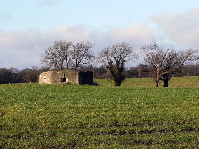
Image: © Andrew Curtis Taken: 28 Dec 2011
Concrete World War II pillbox of hexagonal type 22 situated in an arable field north of Wylam village. Recent photos posted on the internet show that some of the windows are still complete with metal covers.
Images are licensed for reuse under creativecommons.org/licenses/by-sa/2.0
Image Location
Latitude
54.980282
Longitude
-1.820287