Curry Hill Footbridge
Introduction
The photograph on this page of Curry Hill Footbridge by terry joyce as part of the Geograph project.
The Geograph project started in 2005 with the aim of publishing, organising and preserving representative images for every square kilometre of Great Britain, Ireland and the Isle of Man.

There are currently over 7.5m images from over 14,400 individuals and you can help contribute to the project by visiting https://www.geograph.org.uk
Curry Hill Footbridge
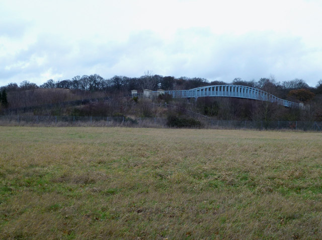
Image: © terry joyce Taken: 28 Dec 2011
This bridge spans the A130 east of Runwell Hospital. I don't know what its purpose is as I can't find access to it. There are no footpaths shown on the OS Map. It is probably named after Curry Hill which is on the east side of the A130 in Rettendon.
Images are licensed for reuse under creativecommons.org/licenses/by-sa/2.0
Image Location
Latitude
51.634233
Longitude
0.548257