The Old Bakehouse
Introduction
The photograph on this page of The Old Bakehouse by Ian Capper as part of the Geograph project.
The Geograph project started in 2005 with the aim of publishing, organising and preserving representative images for every square kilometre of Great Britain, Ireland and the Isle of Man.

There are currently over 7.5m images from over 14,400 individuals and you can help contribute to the project by visiting https://www.geograph.org.uk
The Old Bakehouse
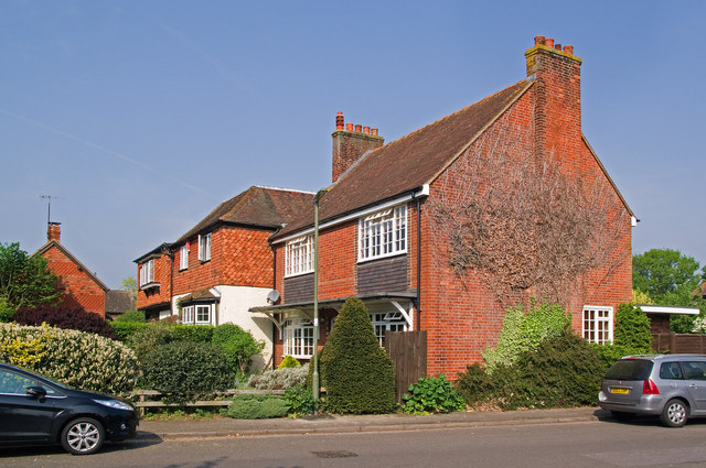
Image: © Ian Capper Taken: 24 Apr 2011
The Old Bakehouse is the further away of these two buildings. It is said to have been built as a Baptist meeting place in 1760, and was converted into a house with a bakery in 1791. The nearer house is more recent, dating from the early 19th century. Both are locally listed.
Images are licensed for reuse under creativecommons.org/licenses/by-sa/2.0
Image Location
Latitude
51.181183
Longitude
-0.168444