Culvert under the A60
Introduction
The photograph on this page of Culvert under the A60 by Antony Dixon as part of the Geograph project.
The Geograph project started in 2005 with the aim of publishing, organising and preserving representative images for every square kilometre of Great Britain, Ireland and the Isle of Man.

There are currently over 7.5m images from over 14,400 individuals and you can help contribute to the project by visiting https://www.geograph.org.uk
Culvert under the A60
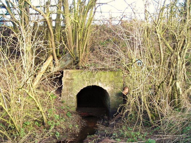
Image: © Antony Dixon Taken: 27 Dec 2011
This nice little stone-built arch is at the western end of the culvert that carries Rainworth Water under the main A60 Mansfield-Nottingham road.
Images are licensed for reuse under creativecommons.org/licenses/by-sa/2.0
Image Location
Latitude
53.100971
Longitude
-1.178214