Remains of Honeybourne South Junction
Introduction
The photograph on this page of Remains of Honeybourne South Junction by David P Howard as part of the Geograph project.
The Geograph project started in 2005 with the aim of publishing, organising and preserving representative images for every square kilometre of Great Britain, Ireland and the Isle of Man.

There are currently over 7.5m images from over 14,400 individuals and you can help contribute to the project by visiting https://www.geograph.org.uk
Remains of Honeybourne South Junction
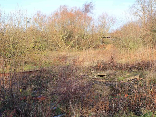
Image: © David P Howard Taken: 17 Dec 2011
A few small piles of rubble and some twisted steel is about all that remains of Honeybourne South Junction as could be seen in Image] taken from the other direction. The bricks in the foreground must be from the signal box.
Images are licensed for reuse under creativecommons.org/licenses/by-sa/2.0
Image Location
Latitude
52.093482
Longitude
-1.816914