Demolition in Accrington
Introduction
The photograph on this page of Demolition in Accrington by Alexander P Kapp as part of the Geograph project.
The Geograph project started in 2005 with the aim of publishing, organising and preserving representative images for every square kilometre of Great Britain, Ireland and the Isle of Man.

There are currently over 7.5m images from over 14,400 individuals and you can help contribute to the project by visiting https://www.geograph.org.uk
Demolition in Accrington
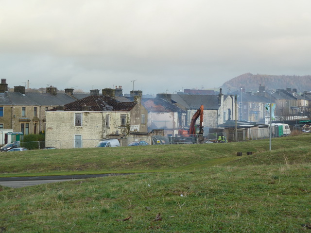
Image: © Alexander P Kapp Taken: 15 Dec 2011
Another block of terraced houses on Blackburn Road being demolished as viewed from Leyland Street
Images are licensed for reuse under creativecommons.org/licenses/by-sa/2.0
Image Location
Latitude
53.752253
Longitude
-2.383039