Woodcote Green
Introduction
The photograph on this page of Woodcote Green by Hugh Craddock as part of the Geograph project.
The Geograph project started in 2005 with the aim of publishing, organising and preserving representative images for every square kilometre of Great Britain, Ireland and the Isle of Man.

There are currently over 7.5m images from over 14,400 individuals and you can help contribute to the project by visiting https://www.geograph.org.uk
Woodcote Green
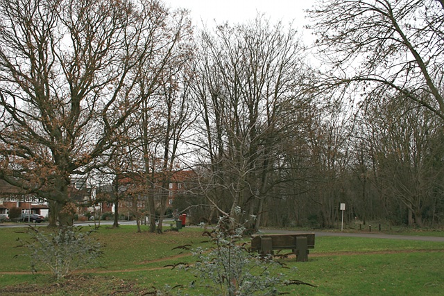
Image: © Hugh Craddock Taken: 26 Dec 2011
Compare with this photo taken in 1890: http://www.francisfrith.com/epsom/photos/woodcote-green-1890_25996/ and http://www.geograph.org.uk/stuff/frith.php?id=2741461 . It seems possible that the tree in the near left foreground is the same as appears in the 1890 photo, while the area to the right of Woodcote Hurst (which now forms part of the Millennium Green) is quite heavily wooded, but was largely open in 1890: indeed, although no animals are visible in the 1890 photo, it seems probable that the green was being grazed by commoning animals off the almost contiguous Epsom Common at this time, which would have kept the land open and largely free from scrub.
Images are licensed for reuse under creativecommons.org/licenses/by-sa/2.0
Image Location
Latitude
51.322781
Longitude
-0.274238