
Old and new, Pinderfields Hospital
Introduction
The photograph on this page of Old and new, Pinderfields Hospital by John Goldsmith as part of the Geograph project.
The Geograph project started in 2005 with the aim of publishing, organising and preserving representative images for every square kilometre of Great Britain, Ireland and the Isle of Man.

There are currently over 7.5m images from over 14,400 individuals and you can help contribute to the project by visiting https://www.geograph.org.uk
Old and new, Pinderfields Hospital
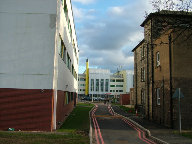
Image: © John Goldsmith Taken: 26 Dec 2011
Most of Wakefield's famous Pinderfields Hospital has been demolished and rebuilt in the last few years. Here one old part continues, alongside newer neighbours. The road leads to a car park on the map but in reality now ends at a fence. The photograph was taken from a footpath. Anyone know what double red lines mean? Behind the photographer is the space actually known as Pinder Field. The ancient word 'pinder' means a person authorised to impound animals, presumably those found straying. Maybe it should have been the prison that was built on this site!
Images are licensed for reuse under creativecommons.org/licenses/by-sa/2.0
Image Location

Latitude
53.692646
Longitude
-1.49143