Triangulation Pillar at Tump Farm
Introduction
The photograph on this page of Triangulation Pillar at Tump Farm by Roger Templeman as part of the Geograph project.
The Geograph project started in 2005 with the aim of publishing, organising and preserving representative images for every square kilometre of Great Britain, Ireland and the Isle of Man.

There are currently over 7.5m images from over 14,400 individuals and you can help contribute to the project by visiting https://www.geograph.org.uk
Triangulation Pillar at Tump Farm
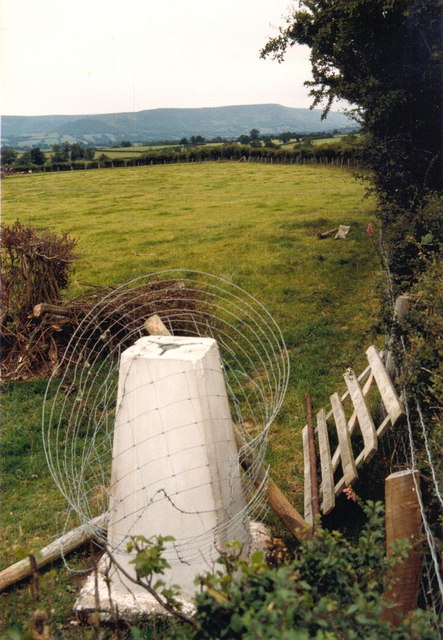
Image: © Roger Templeman Taken: 4 Aug 1986
The pillar has an Ordnance Survey flush bracket Bench Mark with serial number S7015. More information may be found at http://www.trigpointinguk.com/trigs/trig-details.php?t=6610
Images are licensed for reuse under creativecommons.org/licenses/by-sa/2.0
Image Location
Latitude
51.995991
Longitude
-2.964446