Muddy path on the edge of the 'Black Country'
Introduction
The photograph on this page of Muddy path on the edge of the 'Black Country' by Row17 as part of the Geograph project.
The Geograph project started in 2005 with the aim of publishing, organising and preserving representative images for every square kilometre of Great Britain, Ireland and the Isle of Man.

There are currently over 7.5m images from over 14,400 individuals and you can help contribute to the project by visiting https://www.geograph.org.uk
Muddy path on the edge of the 'Black Country'
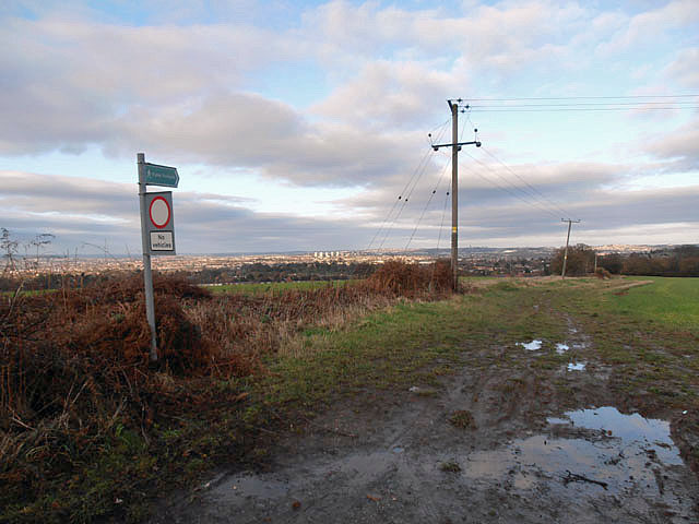
Image: © Row17 Taken: 22 Dec 2011
The 5 blocks of flats in the distance are located at the Delph, near Brierley Hill and the 'hell' that is the Merry Hill Shopping Centre. On the bright side, they're also near to the locally famous 'Bull & Bladder' a haven for real ale enthusiasts (and a pub in which I've had far too many far too often).
Images are licensed for reuse under creativecommons.org/licenses/by-sa/2.0
Image Location
Latitude
52.438077
Longitude
-2.113665