Benchmark on Manor Farm
Introduction
The photograph on this page of Benchmark on Manor Farm by Jonathan Kington as part of the Geograph project.
The Geograph project started in 2005 with the aim of publishing, organising and preserving representative images for every square kilometre of Great Britain, Ireland and the Isle of Man.

There are currently over 7.5m images from over 14,400 individuals and you can help contribute to the project by visiting https://www.geograph.org.uk
Benchmark on Manor Farm
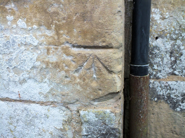
Image: © Jonathan Kington Taken: 22 Dec 2011
This cut mark can be found on the former farm buildings, now used by small businesses, part way up the byway heading to Old Shaftesbury Drove. See Image for a wider view, and for more information on the mark visit http://www.bench-marks.org.uk/bm40606 .
Images are licensed for reuse under creativecommons.org/licenses/by-sa/2.0
Image Location
Latitude
51.077111
Longitude
-1.899172