Duke of Northumberland's River
Introduction
The photograph on this page of Duke of Northumberland's River by Des Blenkinsopp as part of the Geograph project.
The Geograph project started in 2005 with the aim of publishing, organising and preserving representative images for every square kilometre of Great Britain, Ireland and the Isle of Man.

There are currently over 7.5m images from over 14,400 individuals and you can help contribute to the project by visiting https://www.geograph.org.uk
Duke of Northumberland's River
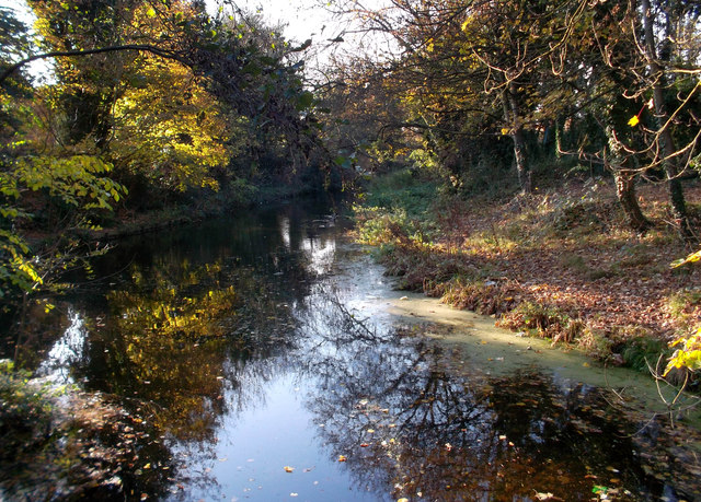
Image: © Des Blenkinsopp Taken: 25 Nov 2011
A man made water course dating from Tudor times, the river is in two sections with opposite functions. The upper part brings water from the River Colne to augment the River Crane. Until the early 20th century the Crane was quite industrialized, with water mills needing a greater flow than the river could provide on its own. The Duke's river provided this top up. The lower section does the reverse and diverts part of the Crane away from the natural course to a confluence further down the Thames. http://en.wikipedia.org/wiki/Duke_of_Northumberland%27s_River
Images are licensed for reuse under creativecommons.org/licenses/by-sa/2.0
Image Location
Latitude
51.459677
Longitude
-0.403239