Paddington Arm - Westbourne Green towpath access
Introduction
The photograph on this page of Paddington Arm - Westbourne Green towpath access by David Hawgood as part of the Geograph project.
The Geograph project started in 2005 with the aim of publishing, organising and preserving representative images for every square kilometre of Great Britain, Ireland and the Isle of Man.

There are currently over 7.5m images from over 14,400 individuals and you can help contribute to the project by visiting https://www.geograph.org.uk
Paddington Arm - Westbourne Green towpath access
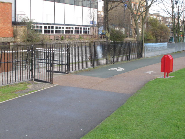
Image: © David Hawgood Taken: 15 Dec 2011
At this point cyclists have to leave the towpath and use the cycle track inside Westbourne Green. The towpath surface is of paving slabs, the paths in Westbourne Green are tarmac, coloured green for the cycle track.
Images are licensed for reuse under creativecommons.org/licenses/by-sa/2.0
Image Location
Latitude
51.52235
Longitude
-0.192324