Railway bridge in South Liberty Lane
Introduction
The photograph on this page of Railway bridge in South Liberty Lane by Neil Owen as part of the Geograph project.
The Geograph project started in 2005 with the aim of publishing, organising and preserving representative images for every square kilometre of Great Britain, Ireland and the Isle of Man.

There are currently over 7.5m images from over 14,400 individuals and you can help contribute to the project by visiting https://www.geograph.org.uk
Railway bridge in South Liberty Lane
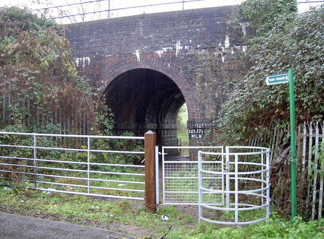
Image: © Neil Owen Taken: 19 Dec 2011
A useful bridge (probably built around 1933) that allows foot traffic onto Bedminster Down while the railway line above it carries trains to the major south-west towns. The name of the road comes from one of the largest of the area's coal mines, which was worked from the mid-eighteenth century until 1924.
Images are licensed for reuse under creativecommons.org/licenses/by-sa/2.0
Image Location
Latitude
51.427664
Longitude
-2.631241