Ringinglow Road at Hilltop
Introduction
The photograph on this page of Ringinglow Road at Hilltop by Jonathan Clitheroe as part of the Geograph project.
The Geograph project started in 2005 with the aim of publishing, organising and preserving representative images for every square kilometre of Great Britain, Ireland and the Isle of Man.

There are currently over 7.5m images from over 14,400 individuals and you can help contribute to the project by visiting https://www.geograph.org.uk
Ringinglow Road at Hilltop
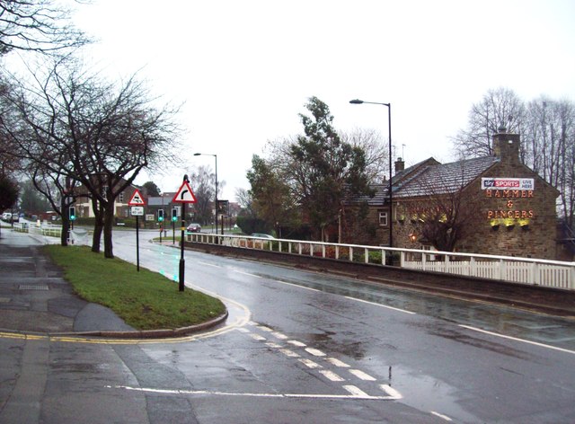
Image: © Jonathan Clitheroe Taken: 19 Dec 2011
Ringinglow Road pictured here at its junction with Muskoka Drive in the left foreground. Bents Green Methodist Church is partially visible beyond the traffic lights and The Hammer and Pincers Public House is to the right. The picture was taken on a rainy Monday afternoon in mid December.
Images are licensed for reuse under creativecommons.org/licenses/by-sa/2.0
Image Location
Latitude
53.354291
Longitude
-1.528066