Lane junction near Bickerton
Introduction
The photograph on this page of Lane junction near Bickerton by Jeff Buck as part of the Geograph project.
The Geograph project started in 2005 with the aim of publishing, organising and preserving representative images for every square kilometre of Great Britain, Ireland and the Isle of Man.

There are currently over 7.5m images from over 14,400 individuals and you can help contribute to the project by visiting https://www.geograph.org.uk
Lane junction near Bickerton
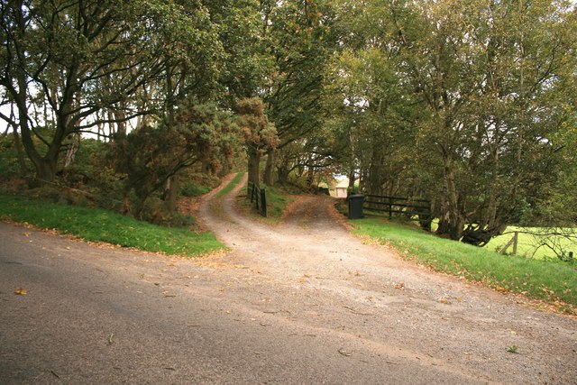
Image: © Jeff Buck Taken: 3 Oct 2009
Taken from Coppermine Lane, the path on the left is public and the one on the right leads to a private residence.
Images are licensed for reuse under creativecommons.org/licenses/by-sa/2.0
Image Location


Leaflet Map data © OpenStreetMap
Latitude
53.086259
Longitude
-2.7193