The Victory Club, South Norwood
Introduction
The photograph on this page of The Victory Club, South Norwood by David Anstiss as part of the Geograph project.
The Geograph project started in 2005 with the aim of publishing, organising and preserving representative images for every square kilometre of Great Britain, Ireland and the Isle of Man.

There are currently over 7.5m images from over 14,400 individuals and you can help contribute to the project by visiting https://www.geograph.org.uk
The Victory Club, South Norwood
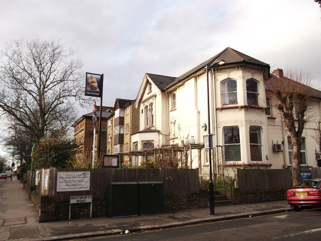
Image: © David Anstiss Taken: 18 Dec 2011
A Royal British Legion club, on the junction of Selhurst Road (on the left) and Whitworth Road (on the right).
Images are licensed for reuse under creativecommons.org/licenses/by-sa/2.0
Image Location
Latitude
51.39753
Longitude
-0.079081