Picture postcard village
Introduction
The photograph on this page of Picture postcard village by Alan Murray-Rust as part of the Geograph project.
The Geograph project started in 2005 with the aim of publishing, organising and preserving representative images for every square kilometre of Great Britain, Ireland and the Isle of Man.

There are currently over 7.5m images from over 14,400 individuals and you can help contribute to the project by visiting https://www.geograph.org.uk
Picture postcard village
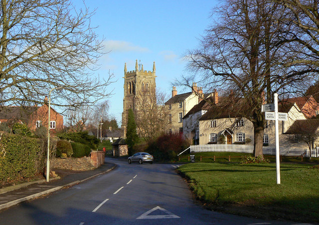
Image: © Alan Murray-Rust Taken: 12 Dec 2011
The Stockwell, Wymeswold. Apart from the modern road surfacing, the streetlamp and the car, the picture could be a hundred years old. The Stockwell takes its name from the spring which rose just below the church and provided the village's main water supply.
Images are licensed for reuse under creativecommons.org/licenses/by-sa/2.0
Image Location
Latitude
52.804709
Longitude
-1.107859