Upstream from May Bridge
Introduction
The photograph on this page of Upstream from May Bridge by Jonathan Kington as part of the Geograph project.
The Geograph project started in 2005 with the aim of publishing, organising and preserving representative images for every square kilometre of Great Britain, Ireland and the Isle of Man.

There are currently over 7.5m images from over 14,400 individuals and you can help contribute to the project by visiting https://www.geograph.org.uk
Upstream from May Bridge
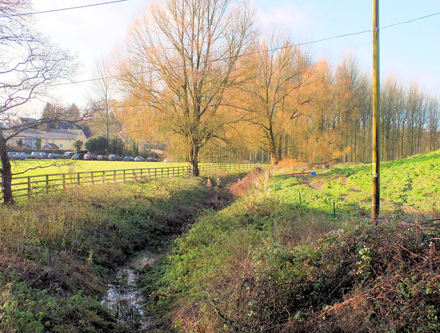
Image: © Jonathan Kington Taken: 16 Dec 2011
Looking up the River Ebble, at this point it is approximately 2 miles from its source and a dry Autumn has reduced it to little more than a trickle. The River Ebble is one of the five rivers of Salisbury. Rising at Alvediston, 12 miles to the west of the city, it then joins the River Avon at Bodenham. Managed by the Ebble Valley Conservation and Fishery Association (EVCAFA) to benefit the fish rather than the fisherman, the River Ebble is one of the Environment Agency's ‘Wild Fisheries Protection Zones’ (WFPZ). This means that the river cannot be stocked with any fish from its source to its confluence with the River Avon.
Images are licensed for reuse under creativecommons.org/licenses/by-sa/2.0
Image Location
Latitude
51.019514
Longitude
-2.006222