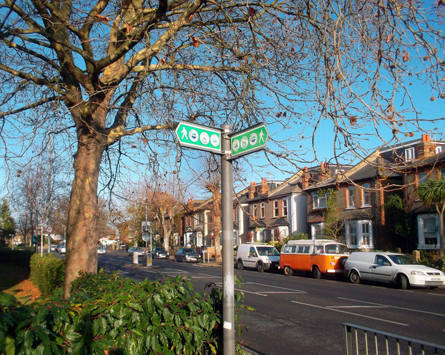
London Loop, Villiers Road, Kingston
Introduction
The photograph on this page of London Loop, Villiers Road, Kingston by Des Blenkinsopp as part of the Geograph project.
The Geograph project started in 2005 with the aim of publishing, organising and preserving representative images for every square kilometre of Great Britain, Ireland and the Isle of Man.
There are currently over 7.5m images from over 14,400 individuals and you can help contribute to the project by visiting https://www.geograph.org.uk

Image: © Des Blenkinsopp Taken: 12 Dec 2011
After leaving central Kingston via paths and quiet back streets beside the Hogsmill River, the London Loop has to follow a busier roadside route for a couple of Kms where riverside access is blocked by a large sewage works and a cemetery. This shows the Loop waymark sign pointing down Villiers Road, a street named after George Villiers, 2nd Duke of Buckingham, who was involved in the Civil War round here.

