Midland Place
Introduction
The photograph on this page of Midland Place by Ian Capper as part of the Geograph project.
The Geograph project started in 2005 with the aim of publishing, organising and preserving representative images for every square kilometre of Great Britain, Ireland and the Isle of Man.

There are currently over 7.5m images from over 14,400 individuals and you can help contribute to the project by visiting https://www.geograph.org.uk
Midland Place
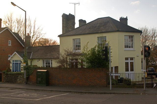
Image: © Ian Capper Taken: 3 Dec 2011
Former pub, now redeveloped as flats. As a pub, it was originally called the Masons Arms. Following the arrival in 1868 of the Midland Railway, whose station was nearby, it was renamed The Midland Railway, with the reference being retained in the redevelopment. See Image for a view in 1994 when still a pub. Locally listed.
Images are licensed for reuse under creativecommons.org/licenses/by-sa/2.0
Image Location


Leaflet Map data © OpenStreetMap
Latitude
51.75032
Longitude
-0.329514