Former fuel depot
Introduction
The photograph on this page of Former fuel depot by Lairich Rig as part of the Geograph project.
The Geograph project started in 2005 with the aim of publishing, organising and preserving representative images for every square kilometre of Great Britain, Ireland and the Isle of Man.

There are currently over 7.5m images from over 14,400 individuals and you can help contribute to the project by visiting https://www.geograph.org.uk
Former fuel depot
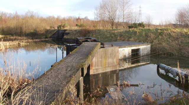
Image: © Lairich Rig Taken: 9 Dec 2011
The pipeline visible at the right-hand edge of the picture appeared to be leading towards the northern end of the rectangular pit that is shown in Image
Images are licensed for reuse under creativecommons.org/licenses/by-sa/2.0
Image Location
Latitude
55.91555
Longitude
-4.452514