Hubbard Road, Burton
Introduction
The photograph on this page of Hubbard Road, Burton by Alan Murray-Rust as part of the Geograph project.
The Geograph project started in 2005 with the aim of publishing, organising and preserving representative images for every square kilometre of Great Britain, Ireland and the Isle of Man.

There are currently over 7.5m images from over 14,400 individuals and you can help contribute to the project by visiting https://www.geograph.org.uk
Hubbard Road, Burton
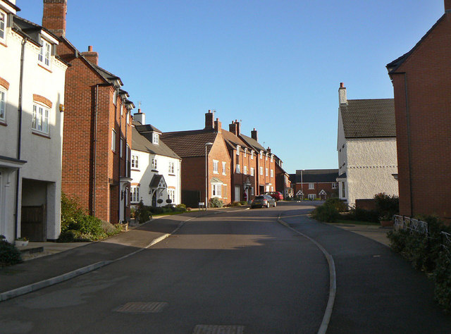
Image: © Alan Murray-Rust Taken: 12 Dec 2011
21st century housing development. The houses have been thoughtfully designed using materials and styles to match traditional older housing in the area.
Images are licensed for reuse under creativecommons.org/licenses/by-sa/2.0
Image Location
Latitude
52.786498
Longitude
-1.125135