Footpath near Burton
Introduction
The photograph on this page of Footpath near Burton by Alan Murray-Rust as part of the Geograph project.
The Geograph project started in 2005 with the aim of publishing, organising and preserving representative images for every square kilometre of Great Britain, Ireland and the Isle of Man.

There are currently over 7.5m images from over 14,400 individuals and you can help contribute to the project by visiting https://www.geograph.org.uk
Footpath near Burton
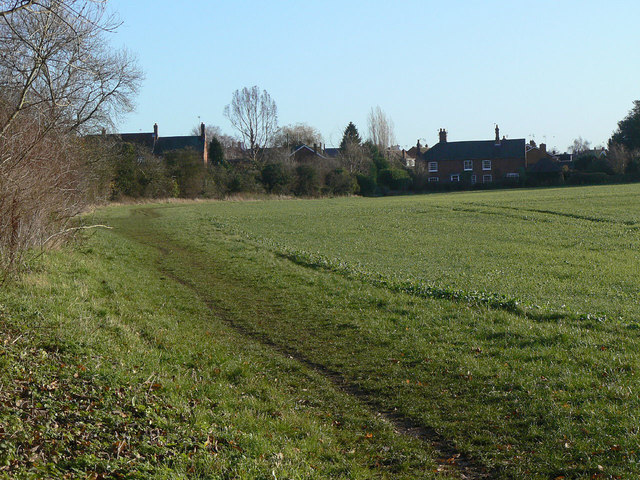
Image: © Alan Murray-Rust Taken: 12 Dec 2011
This follows the line of what was an important route towards Loughborough until the enclosure of Prestwold Park.
Images are licensed for reuse under creativecommons.org/licenses/by-sa/2.0
Image Location


Leaflet Map data © OpenStreetMap
Latitude
52.786271
Longitude
-1.130923