London Loop, Berrylands
Introduction
The photograph on this page of London Loop, Berrylands by Des Blenkinsopp as part of the Geograph project.
The Geograph project started in 2005 with the aim of publishing, organising and preserving representative images for every square kilometre of Great Britain, Ireland and the Isle of Man.

There are currently over 7.5m images from over 14,400 individuals and you can help contribute to the project by visiting https://www.geograph.org.uk
London Loop, Berrylands
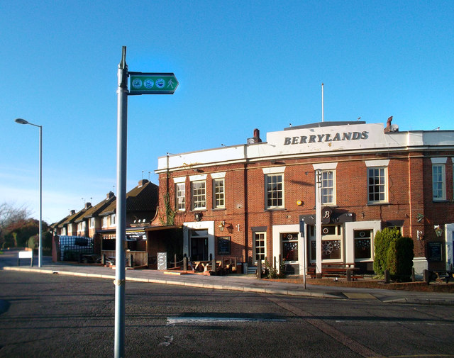
Image: © Des Blenkinsopp Taken: 12 Dec 2011
The London Loop long distance path stays off-road as much as possible, but where the footpaths don't link up a roadside route has to make do. One such section is the bit through Berrylands. Here is the green Loop waymark sign in front of the Berrylands pub, which has had a new colour scheme since it was last Geographed in 2005. Image
Images are licensed for reuse under creativecommons.org/licenses/by-sa/2.0
Image Location
Latitude
51.398057
Longitude
-0.280894