Pasture near Pontrhydfendigaid, Ceredigion
Introduction
The photograph on this page of Pasture near Pontrhydfendigaid, Ceredigion by Roger D Kidd as part of the Geograph project.
The Geograph project started in 2005 with the aim of publishing, organising and preserving representative images for every square kilometre of Great Britain, Ireland and the Isle of Man.

There are currently over 7.5m images from over 14,400 individuals and you can help contribute to the project by visiting https://www.geograph.org.uk
Pasture near Pontrhydfendigaid, Ceredigion
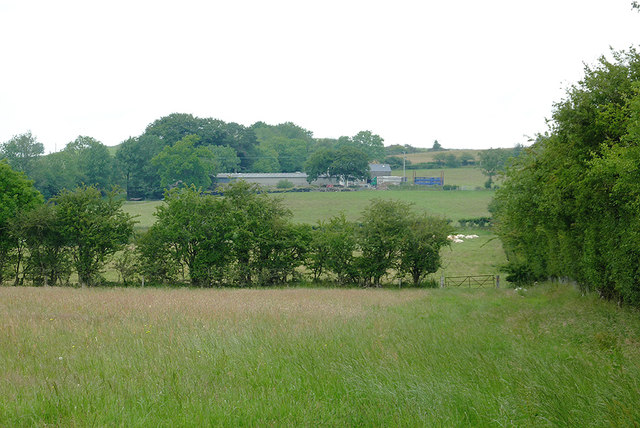
Image: © Roger D Kidd Taken: 12 Jul 2011
These fields of grass by the B4340 are ready for cutting, which is in progress in many places locally. The farm buildings are at Llwyn-y-gôg.
Images are licensed for reuse under creativecommons.org/licenses/by-sa/2.0
Image Location
Latitude
52.287602
Longitude
-3.869746