Fence and gate by Roundgreen Lane
Introduction
The photograph on this page of Fence and gate by Roundgreen Lane by Oast House Archive as part of the Geograph project.
The Geograph project started in 2005 with the aim of publishing, organising and preserving representative images for every square kilometre of Great Britain, Ireland and the Isle of Man.

There are currently over 7.5m images from over 14,400 individuals and you can help contribute to the project by visiting https://www.geograph.org.uk
Fence and gate by Roundgreen Lane
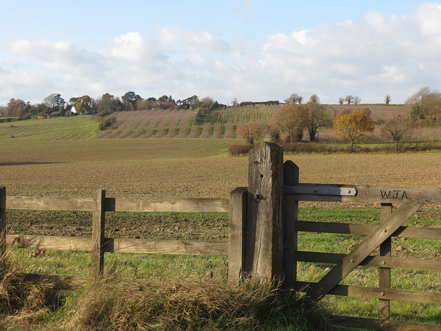
Image: © Oast House Archive Taken: 7 Dec 2011
A signature'd gate beside Roundgreen Lane, looking across fields and orchards towards Curtisden Green.
Images are licensed for reuse under creativecommons.org/licenses/by-sa/2.0
Image Location
Latitude
51.134423
Longitude
0.499907