Derelict building near Baddesley Farm
Introduction
The photograph on this page of Derelict building near Baddesley Farm by Mick Malpass as part of the Geograph project.
The Geograph project started in 2005 with the aim of publishing, organising and preserving representative images for every square kilometre of Great Britain, Ireland and the Isle of Man.

There are currently over 7.5m images from over 14,400 individuals and you can help contribute to the project by visiting https://www.geograph.org.uk
Derelict building near Baddesley Farm
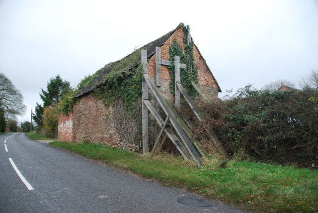
Image: © Mick Malpass Taken: 11 Dec 2011
I would imagine that this is a listed building, to take all this trouble to keep it standing, what happens when the wood rots away.
Images are licensed for reuse under creativecommons.org/licenses/by-sa/2.0
Image Location
Latitude
52.585322
Longitude
-1.621526