Stockley Fell Plantation
Introduction
The photograph on this page of Stockley Fell Plantation by Brian Abbott as part of the Geograph project.
The Geograph project started in 2005 with the aim of publishing, organising and preserving representative images for every square kilometre of Great Britain, Ireland and the Isle of Man.

There are currently over 7.5m images from over 14,400 individuals and you can help contribute to the project by visiting https://www.geograph.org.uk
Stockley Fell Plantation
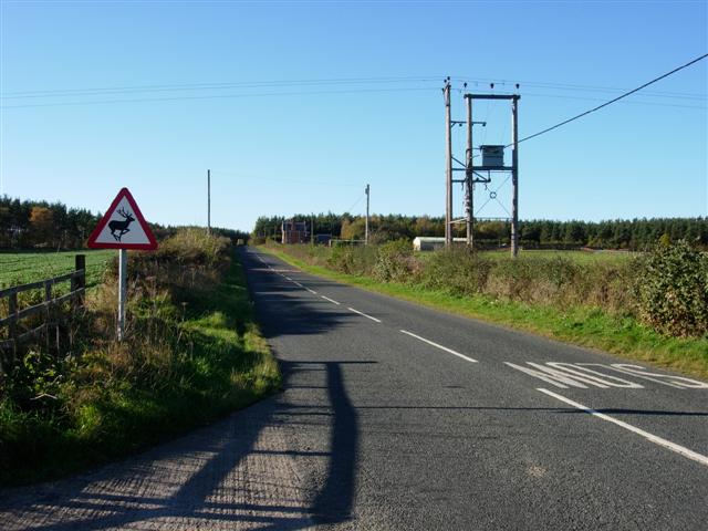
Image: © Brian Abbott Taken: 2 Nov 2006
Looking West along Stockley Lane, Stockley Fell Plantation (coniferous trees) is in the middle distance. As the road sign hints, there is a lot of wildlife around here.
Images are licensed for reuse under creativecommons.org/licenses/by-sa/2.0
Image Location
Latitude
54.732063
Longitude
-1.681625