Primrose Farm to Frog End
Introduction
The photograph on this page of Primrose Farm to Frog End by John Sutton as part of the Geograph project.
The Geograph project started in 2005 with the aim of publishing, organising and preserving representative images for every square kilometre of Great Britain, Ireland and the Isle of Man.

There are currently over 7.5m images from over 14,400 individuals and you can help contribute to the project by visiting https://www.geograph.org.uk
Primrose Farm to Frog End
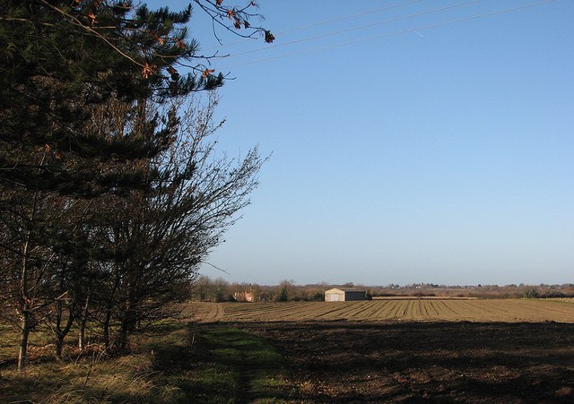
Image: © John Sutton Taken: 9 Dec 2011
This path starts between The Hole in the Wall and Primrose Farm and goes more directly to Frog End than the lane through the straggling west end of the village does. Stow-cum-Quy church tower, a landmark for miles around, is a pale speck on the right horizon. Image] is the view a hundred or so yards further towards Frog End.
Images are licensed for reuse under creativecommons.org/licenses/by-sa/2.0
Image Location
Latitude
52.204469
Longitude
0.252479