Rushden & Higham rugby club house
Introduction
The photograph on this page of Rushden & Higham rugby club house by Michael Trolove as part of the Geograph project.
The Geograph project started in 2005 with the aim of publishing, organising and preserving representative images for every square kilometre of Great Britain, Ireland and the Isle of Man.

There are currently over 7.5m images from over 14,400 individuals and you can help contribute to the project by visiting https://www.geograph.org.uk
Rushden & Higham rugby club house
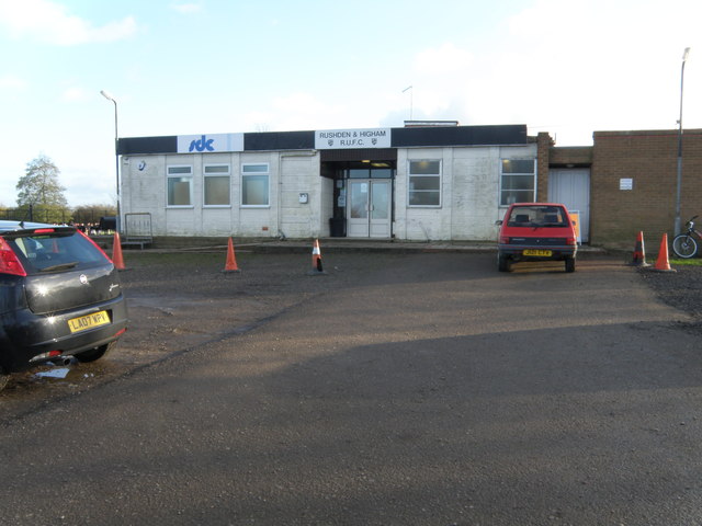
Image: © Michael Trolove Taken: 3 Dec 2011
All the usual facilities, a bar, kitchen and changing rooms.
Images are licensed for reuse under creativecommons.org/licenses/by-sa/2.0
Image Location
Latitude
52.276052
Longitude
-0.588066