Barns at Brithdir
Introduction
The photograph on this page of Barns at Brithdir by Trevor Littlewood as part of the Geograph project.
The Geograph project started in 2005 with the aim of publishing, organising and preserving representative images for every square kilometre of Great Britain, Ireland and the Isle of Man.

There are currently over 7.5m images from over 14,400 individuals and you can help contribute to the project by visiting https://www.geograph.org.uk
Barns at Brithdir
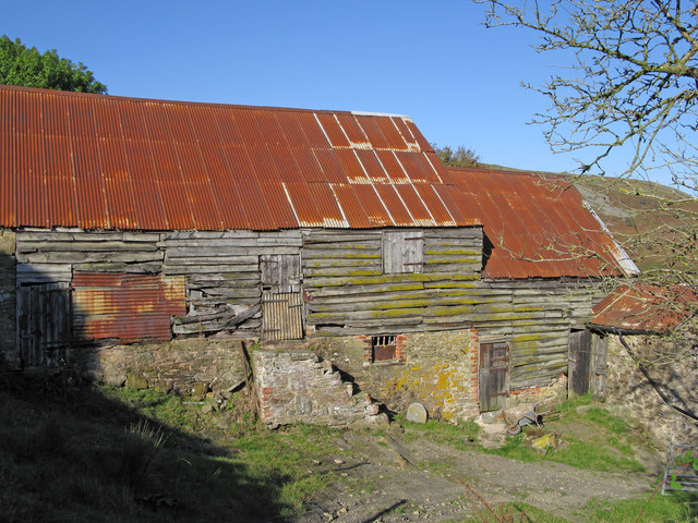
Image: © Trevor Littlewood Taken: 5 Oct 2007
Brithdir is a farm surrounded by low but steep hills. The barn(s) seen in this image from a path leading south-west, show a surprising number and variety of repair operations. The hillslopes seen beyond are of Corndon Hill.
Images are licensed for reuse under creativecommons.org/licenses/by-sa/2.0
Image Location


Leaflet Map data © OpenStreetMap
Latitude
52.550497
Longitude
-3.032456