National Cycle Network Route 4, Lon-y-llyn, Caerphilly
Introduction
The photograph on this page of National Cycle Network Route 4, Lon-y-llyn, Caerphilly by Jaggery as part of the Geograph project.
The Geograph project started in 2005 with the aim of publishing, organising and preserving representative images for every square kilometre of Great Britain, Ireland and the Isle of Man.

There are currently over 7.5m images from over 14,400 individuals and you can help contribute to the project by visiting https://www.geograph.org.uk
National Cycle Network Route 4, Lon-y-llyn, Caerphilly
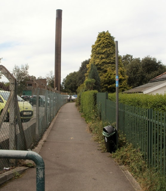
Image: © Jaggery Taken: 19 Aug 2011
Route 4 heads west from a road named Lon-y-llyn, past the perimeter fence of Caerphilly District Miners' Hospital. http://www.geograph.org.uk/photo/2723051 Route 4, from the Severn Bridge (Chepstow) to Swansea, is also known as The Celtic Trail (East).
Images are licensed for reuse under creativecommons.org/licenses/by-sa/2.0
Image Location
Latitude
51.569994
Longitude
-3.232147