Staggered crossroads
Introduction
The photograph on this page of Staggered crossroads by Ruth Riddle as part of the Geograph project.
The Geograph project started in 2005 with the aim of publishing, organising and preserving representative images for every square kilometre of Great Britain, Ireland and the Isle of Man.

There are currently over 7.5m images from over 14,400 individuals and you can help contribute to the project by visiting https://www.geograph.org.uk
Staggered crossroads
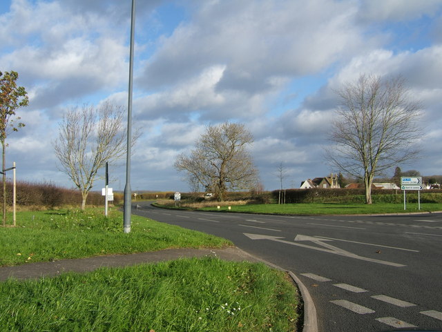
Image: © Ruth Riddle Taken: 7 Dec 2011
This staggered crossroads is at the extreme northern edge of the built-up part of Thornbury, where Butt Lane and Morton Way both join the main road that heads roughly north - south through the town.
Images are licensed for reuse under creativecommons.org/licenses/by-sa/2.0
Image Location
Latitude
51.619484
Longitude
-2.514447