Sycamore Cross
Introduction
The photograph on this page of Sycamore Cross by Tony Hodge as part of the Geograph project.
The Geograph project started in 2005 with the aim of publishing, organising and preserving representative images for every square kilometre of Great Britain, Ireland and the Isle of Man.

There are currently over 7.5m images from over 14,400 individuals and you can help contribute to the project by visiting https://www.geograph.org.uk
Sycamore Cross
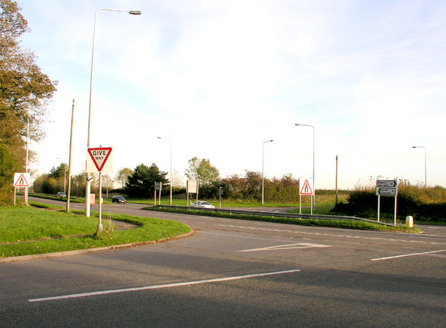
Image: © Tony Hodge Taken: 3 Nov 2006
A junction between the east / west A48 and the Five Mile Lane south to Barry and a minor road north to Pendoylan and the M4
Images are licensed for reuse under creativecommons.org/licenses/by-sa/2.0
Image Location


Leaflet Map data © OpenStreetMap
Latitude
51.461888
Longitude
-3.332877