The Park
Introduction
The photograph on this page of The Park by Alan Murray-Rust as part of the Geograph project.
The Geograph project started in 2005 with the aim of publishing, organising and preserving representative images for every square kilometre of Great Britain, Ireland and the Isle of Man.

There are currently over 7.5m images from over 14,400 individuals and you can help contribute to the project by visiting https://www.geograph.org.uk
The Park
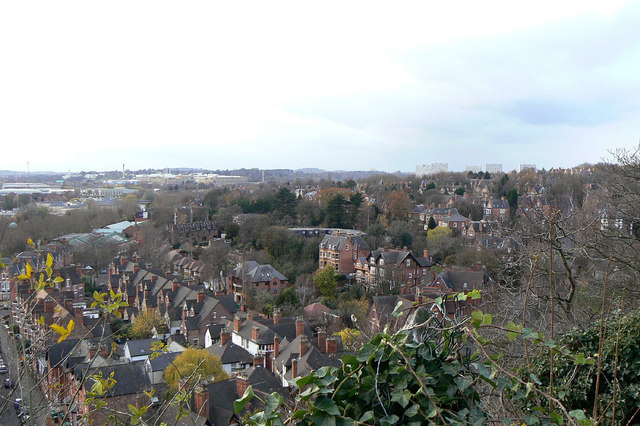
Image: © Alan Murray-Rust Taken: 4 Dec 2011
Originally part of the hunting park attached to Nottingham Castle, the area was developed as a residential area for the wealthier citizens of Nottingham in the mid to late 19th century.
Images are licensed for reuse under creativecommons.org/licenses/by-sa/2.0
Image Location
Latitude
52.949451
Longitude
-1.158465