Burden's Ball Bridge
Introduction
The photograph on this page of Burden's Ball Bridge by Jonathan Kington as part of the Geograph project.
The Geograph project started in 2005 with the aim of publishing, organising and preserving representative images for every square kilometre of Great Britain, Ireland and the Isle of Man.

There are currently over 7.5m images from over 14,400 individuals and you can help contribute to the project by visiting https://www.geograph.org.uk
Burden's Ball Bridge
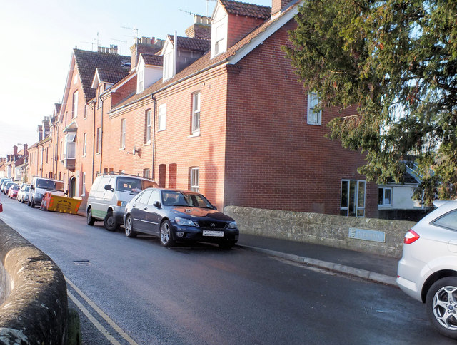
Image: © Jonathan Kington Taken: 5 Dec 2011
Looking along North Street over the River Wylye on Burden's Ball Bridge. The Grade II Listed bridge ( http://www.britishlistedbuildings.co.uk/en-319268-burden-s-ball-bridge-wilton ) was originally built in the late 18th or early 19th century and was then first widened at the end of the 19th century with replacements done in the 1960's and again in 2010 ( http://www.wiltshire.gov.uk/parkingtransportandstreets/roadshighwayspavements/bridges/bridgescurrentlyunderconstruction/structuresscrossandburdensballbridge.htm ). There is a benchmark on the outside of the further buttress (Image).
Images are licensed for reuse under creativecommons.org/licenses/by-sa/2.0
Image Location
Latitude
51.082825
Longitude
-1.860043