England/Wales border in the middle of the Wye, Llandogo
Introduction
The photograph on this page of England/Wales border in the middle of the Wye, Llandogo by Jaggery as part of the Geograph project.
The Geograph project started in 2005 with the aim of publishing, organising and preserving representative images for every square kilometre of Great Britain, Ireland and the Isle of Man.

There are currently over 7.5m images from over 14,400 individuals and you can help contribute to the project by visiting https://www.geograph.org.uk
England/Wales border in the middle of the Wye, Llandogo
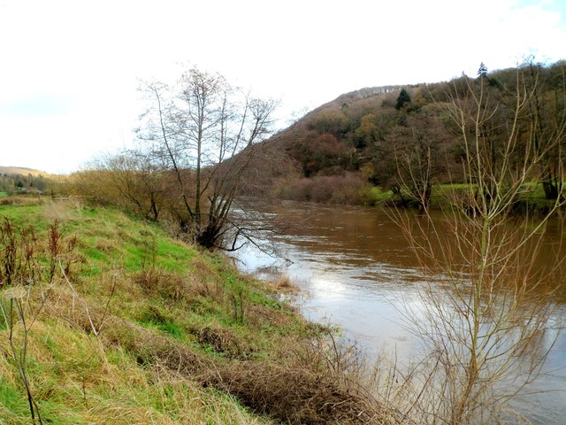
Image: © Jaggery Taken: 4 Dec 2011
Several parts of the River Wye form the border between England and Wales. This view across the Wye from Llandogo, Wales to the English side is part of the lowest 16 miles (26 km) of the river from Redbrook to Chepstow where the midpoint of the river marks the border.
Images are licensed for reuse under creativecommons.org/licenses/by-sa/2.0
Image Location
Latitude
51.731823
Longitude
-2.6834