Park Wall, Bulbridge
Introduction
The photograph on this page of Park Wall, Bulbridge by Maigheach-gheal as part of the Geograph project.
The Geograph project started in 2005 with the aim of publishing, organising and preserving representative images for every square kilometre of Great Britain, Ireland and the Isle of Man.

There are currently over 7.5m images from over 14,400 individuals and you can help contribute to the project by visiting https://www.geograph.org.uk
Park Wall, Bulbridge
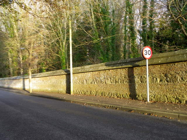
Image: © Maigheach-gheal Taken: 3 Dec 2011
The wall is the western boundary to Wilton Park. There is an Ordnance Survey bench mark just to the left of the 30mph sign.
Images are licensed for reuse under creativecommons.org/licenses/by-sa/2.0
Image Location
Latitude
51.073034
Longitude
-1.868779