Holmfield Drive Llandogo
Introduction
The photograph on this page of Holmfield Drive Llandogo by Jaggery as part of the Geograph project.
The Geograph project started in 2005 with the aim of publishing, organising and preserving representative images for every square kilometre of Great Britain, Ireland and the Isle of Man.

There are currently over 7.5m images from over 14,400 individuals and you can help contribute to the project by visiting https://www.geograph.org.uk
Holmfield Drive Llandogo
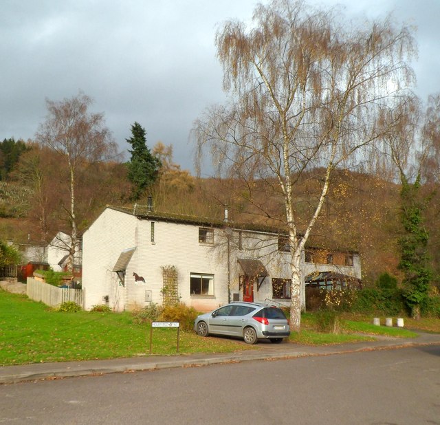
Image: © Jaggery Taken: 4 Dec 2011
Houses at the corner of Holmfield Drive and The Woodlands, on the north side of the A466.
Images are licensed for reuse under creativecommons.org/licenses/by-sa/2.0
Image Location
Latitude
51.73541
Longitude
-2.684902