Flint House Wall
Introduction
The photograph on this page of Flint House Wall by David Anstiss as part of the Geograph project.
The Geograph project started in 2005 with the aim of publishing, organising and preserving representative images for every square kilometre of Great Britain, Ireland and the Isle of Man.

There are currently over 7.5m images from over 14,400 individuals and you can help contribute to the project by visiting https://www.geograph.org.uk
Flint House Wall
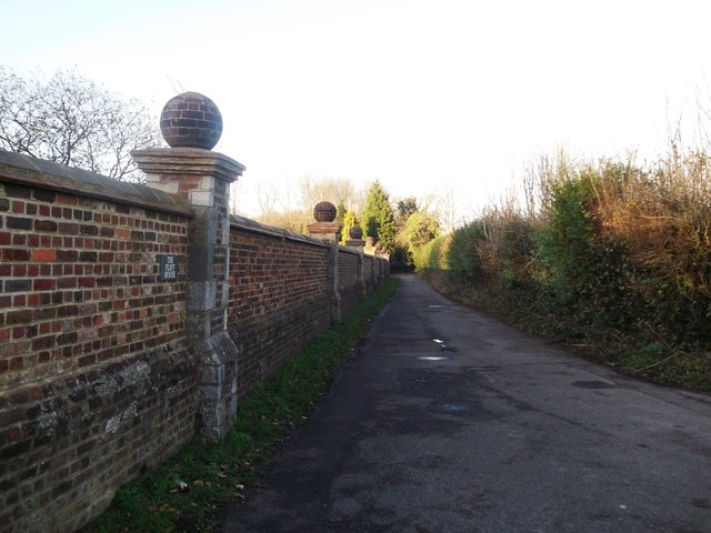
Image: © David Anstiss Taken: 27 Nov 2011
This impressive brick wall with brick globes on columns, is beside an access track to mobile phone masts. This track is also a bridleway used by the Vanguard Way (long distance path) leading to Woldingham.
Images are licensed for reuse under creativecommons.org/licenses/by-sa/2.0
Image Location
Latitude
51.274584
Longitude
-0.013531