The practical route of footpath Tarring Neville 5
Introduction
The photograph on this page of The practical route of footpath Tarring Neville 5 by Robin Webster as part of the Geograph project.
The Geograph project started in 2005 with the aim of publishing, organising and preserving representative images for every square kilometre of Great Britain, Ireland and the Isle of Man.

There are currently over 7.5m images from over 14,400 individuals and you can help contribute to the project by visiting https://www.geograph.org.uk
The practical route of footpath Tarring Neville 5
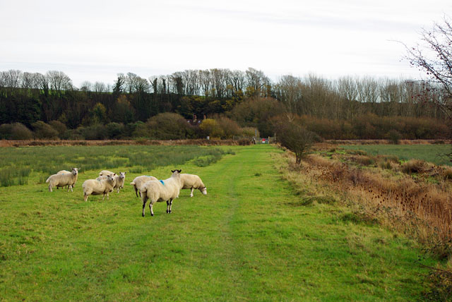
Image: © Robin Webster Taken: 2 Dec 2011
The legal line of the footpath is diagonally across the damp field on the left to the railway crossing ahead. This track on a slight causeway is a more sensible route.
Images are licensed for reuse under creativecommons.org/licenses/by-sa/2.0
Image Location
Latitude
50.820819
Longitude
0.031324