Mulberry Street corner
Introduction
The photograph on this page of Mulberry Street corner by Robin Stott as part of the Geograph project.
The Geograph project started in 2005 with the aim of publishing, organising and preserving representative images for every square kilometre of Great Britain, Ireland and the Isle of Man.

There are currently over 7.5m images from over 14,400 individuals and you can help contribute to the project by visiting https://www.geograph.org.uk
Mulberry Street corner
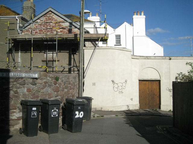
Image: © Robin Stott Taken: 14 Sep 2011
Mulberry Street was severed by Brunel's Great Western Railway through the town. Here the south end of the street joins Custom House Hill. The north end of Mulberry Street was diverted to join Parson Street. Note the old walls of Teignmouth sandstone.
Images are licensed for reuse under creativecommons.org/licenses/by-sa/2.0
Image Location
Latitude
50.546729
Longitude
-3.500266