End of the Roman Road
Introduction
The photograph on this page of End of the Roman Road by Des Blenkinsopp as part of the Geograph project.
The Geograph project started in 2005 with the aim of publishing, organising and preserving representative images for every square kilometre of Great Britain, Ireland and the Isle of Man.

There are currently over 7.5m images from over 14,400 individuals and you can help contribute to the project by visiting https://www.geograph.org.uk
End of the Roman Road
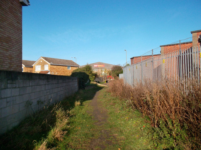
Image: © Des Blenkinsopp Taken: 30 Nov 2011
This scruffy bit of footpath between housing and an electricity station is an ancient route following the Roman road between Dorchester and Bicester. The course is still fairly intact as a bridleway coming northwards from Dorchester, apart from a short vanished section near Berinsfield, until you get to here where industrial buildings block the alignment. The route briefly surfaces again for a few hundred metres past the BMW factory but then is lost again under housing and the eastern by-pass until the southern approaches to Otmoor.
Images are licensed for reuse under creativecommons.org/licenses/by-sa/2.0
Image Location
Latitude
51.724279
Longitude
-1.190085