Footbridges and steps, Langlee
Introduction
The photograph on this page of Footbridges and steps, Langlee by Jim Barton as part of the Geograph project.
The Geograph project started in 2005 with the aim of publishing, organising and preserving representative images for every square kilometre of Great Britain, Ireland and the Isle of Man.

There are currently over 7.5m images from over 14,400 individuals and you can help contribute to the project by visiting https://www.geograph.org.uk
Footbridges and steps, Langlee
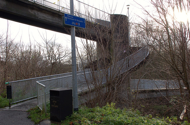
Image: © Jim Barton Taken: 30 Nov 2011
An unusual layout of a footbridge over the Gala Water (R) connecting with a higher level footbridge (L) that crosses the path on the old railway line from which this was taken. There are steps either side of the column supporting the bridge.
Images are licensed for reuse under creativecommons.org/licenses/by-sa/2.0
Image Location
Latitude
55.609086
Longitude
-2.780486