The Dover Arms, Ash
Introduction
The photograph on this page of The Dover Arms, Ash by Colin Smith as part of the Geograph project.
The Geograph project started in 2005 with the aim of publishing, organising and preserving representative images for every square kilometre of Great Britain, Ireland and the Isle of Man.

There are currently over 7.5m images from over 14,400 individuals and you can help contribute to the project by visiting https://www.geograph.org.uk
The Dover Arms, Ash
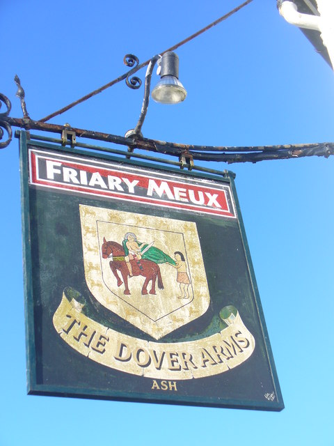
Image: © Colin Smith Taken: 30 Nov 2011
Pub sign outside a closed (2009) hostelry at the foot of Ash Hill Road. The shield looks like it shows the story of St Martin. The brewery chain is also no more; it was Godalming-Guildford based.
Images are licensed for reuse under creativecommons.org/licenses/by-sa/2.0
Image Location
Latitude
51.251428
Longitude
-0.710949